Nature's Indifferent Lines
Politicians draw maps, but geography has the final say. Often, a river shifting its course or a glacier melting rewrites an international border, ignoring the treaties signed centuries prior.
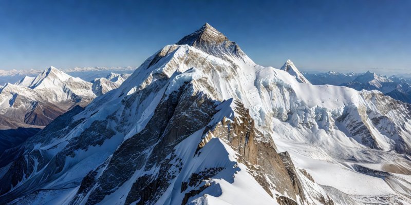
The Summit Divide: Mount Everest
The highest border on Earth runs directly across the summit of Mount Everest, dividing Nepal to the south and the Tibet Autonomous Region of China to the north. Climbers summitting from the Nepalese side technically cross into China the moment they stand on the peak. Because of the hostile environment, there are no passport controls at 29,032 feet, making it the most grueling illegal border crossing on the planet.
Time Travel on the Ice: The Diomede Islands
In the middle of the Bering Strait lie two rocky islands: Big Diomede (Russia) and Little Diomede (United States). They are separated by just 2.4 miles (3.8 km) of water, which freezes solid in the winter, theoretically allowing a person to walk between the two superpowers.
However, the International Date Line runs directly between them. Big Diomede is exactly 21 hours ahead of Little Diomede. For this reason, they are often nicknamed "Tomorrow Island" and "Yesterday Isle." Looking across the narrow strait isn't just looking at another country; it's looking into the future.
Fluid Borders: The Rio Grande
Borders defined by rivers are inherently unstable. The Rio Grande, which separates the United States and Mexico, frequently shifts its banks during floods. This led to the famous "Chamizal Dispute," where a shift in the river transferred land from El Paso, Texas, to Ciudad Juárez, Mexico. It took decades of bitter diplomacy to cement the boundary, eventually requiring a concrete channel to be built to physically pin the river—and the border—in place.